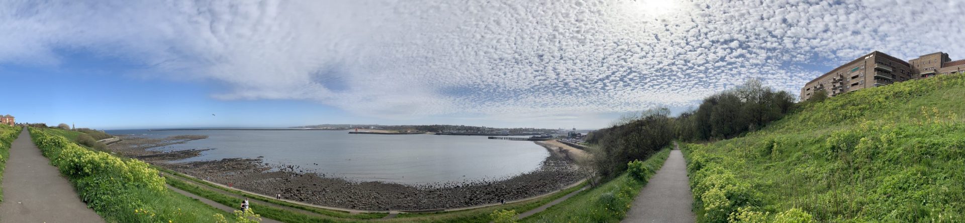
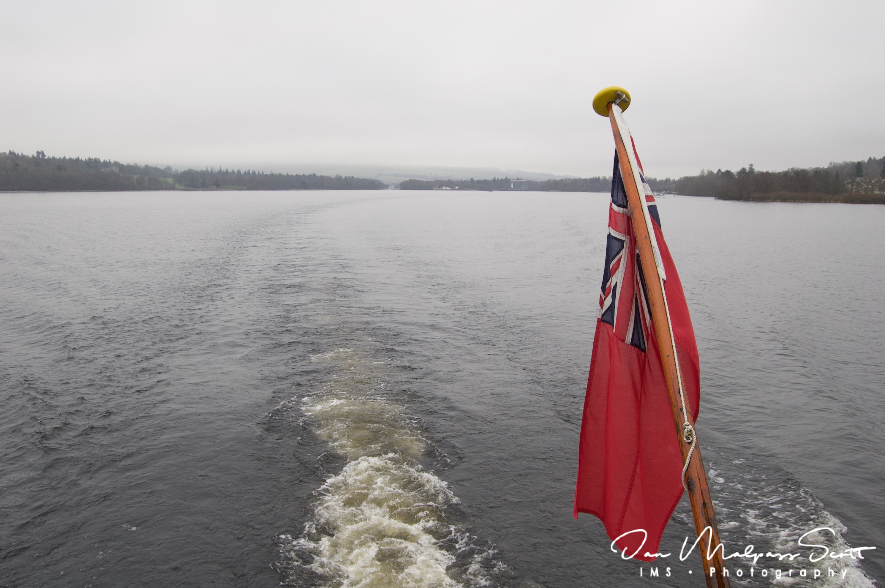
Loch Lomond (/ˈlɒx ˈloʊmənd/; Scottish Gaelic: Loch Laomainn – ‘Lake of the Elms’) is a freshwater Scottish loch which crosses the Highland Boundary Fault, often considered the boundary between the lowlands of Central Scotland and the Highlands. Traditionally forming part of the boundary between the counties of Stirlingshire and Dunbartonshire, Loch Lomond is split between the council areas of Stirling, Argyll and Bute and West Dunbartonshire. Its southern shores are about 23 kilometres (14 mi) northwest of the centre of Glasgow, Scotland’s largest city. The Loch forms part of the Loch Lomond and The Trossachs National Park which was established in 2002.
Loch Lomond is 36.4 kilometres (22.6 mi) long and between 1 and 8 kilometres (0.62–4.97 mi) wide, with a surface area of 71 km2 (27.5 sq mi). It is the largest inland stretch of water in Great Britain by surface area; within the United Kingdom, it is surpassed only by Lough Neagh and Lough Erne in Northern Ireland. Within the British Isles as a whole there are several larger loughs in the Republic of Ireland. The loch has a maximum depth of about 153 metres (502 ft) in the deeper northern portion, although the southern part of the loch rarely exceeds 30 metres (98 ft) in depth. The total volume of Loch Lomond is 2.6 km3 (0.62 cu mi), making it the second largest inland stretch of water in Great Britain (after Loch Ness) by water volume.
The loch contains many islands, including Inchmurrin, the largest fresh-water island in the British Isles.[ Loch Lomond is a popular leisure destination and is featured in the song “The Bonnie Banks o’ Loch Lomond”. The loch is surrounded by hills, including Ben Lomond on the eastern shore, which is 974 metres (3,196 ft) in height and the most southerly of the Scottish Munro peaks. A 2005 poll of Radio Times readers voted Loch Lomond as the sixth greatest natural wonder in Britain.


